

🌐 NASA and IBM's beefed-up geospatial foundation model
PLUS: gender inequalities in transport planning, mapping landslides from space and more.


Hey guys, here’s this week’s edition of the Spatial Edge — a weekly round-up of geospatial news. The end of the year is usually a time for reflection, so what better way to reflect than contemplating the latest geospatial research to see out the year. As usual, the aim is to make you a better geospatial data scientist in less than 5 minutes a week.
In today’s newsletter:
IBM and NASA’s Prithvi-EO-2.0: An upgraded geospatial foundation model.
Inclusive Mobility in Ghana: OECD highlights gendered transport challenges.
Landslide Mapping: Advanced remote sensing techniques for complex terrains.
Global Grassland Data: New 30m annual maps spanning 2000–2022.
LandScan 2023: Detailed global population distribution at 1km resolution.
Research you should know about
1. IBM and NASA’s new geospatial foundation model: Prithvi 2.0

Earlier this year IBM and NASA teamed up to create the largest geospatial foundation model at the time, Prithvi. They’ve now created Prithvi 2.0, an update to their original model, which is trained on 4.2 million images from NASA’s Harmonized Landsat-Sentinel-2 data (as the name suggests, this combines Landsat data with Sentinel-2 data). The beefiest version has 600m paramters.
‘What’s a foundation model?’, I hear you ask. Luckily, I’ve got you covered here.
The authors claim that Prithvi 2.0 is better suited to capturing time-varying patterns than other geospatial foundation models out there. For example, seasonal vegetation changes or multi-year trends. They do this by featuring temporal embeddings.
In a nutshell, each input image patch is tagged with metadata indicating when it was captured (i.e. year and day of year). The model then adds them to the embedded pixels. During training, they drop these temporal signals at random. This essentially teaches the model not to rely solely on these signals all the time, and to handle missing or uncertain timestamps when data are incomplete. By combining these embeddings with image features, the model gains a better sense of how Earth’s surface changes over time.
They analyse the performance of the model using the Geo-Bench benchmarking dataset. They find that it performs on average 8% better than Prithvi 1.0 across a bunch of segmentation and detection tasks:

You can access the models here.
2. A gendered approach to inclusive mobility

A new report from the OECD examines how women are disproportionately impacted by accessibility and transport-related issues in Ghana. The point is that women typically do lots of ‘care’-related activities such as taking children to school, taking relatives to health centres and visiting markets. However, these places are less accessible and form what the authors call ‘accessibility deserts’.
The team obtained survey data in early 2023 from about 1,000 households, which asked questions on how women and men in various income groups move around the cities. They examined distances to schools, health services, and markets, overlaying these with walking times and modal options such as three-wheelers.
They find that women in Accra and Kumasi face higher daily travel burdens. Around one in five of women’s trips is care-related, compared to a smaller share for men. Many lower-income households report being cut off from pressing needs, citing affordability gaps and a lack of viable modes.
The bottom line is that better urban planning is badly needed to provide safe pedestrian routes and affordable transit to health and education facilities as well as marketplaces. At present, transport policies seem to prioritise constructing roads and bus routes to address commuting to work, rather than access to services.
3. Mapping landslides with remote sensing data

A new study in Scientific Reports introduces a novel method for detecting landslides via remote sensing data by fusing a deep learning model with object-based image analysis.
The team addresses the problem of identifying landslides in complex terrains, where traditional pixel-based methods often struggle with false positives and limited context. This work uses satellite images from the Landslide4Sense dataset (comprised of Sentinel-2 multispectral and ALOS PALSAR elevation layers) to create a reliable workflow for segmenting and classifying landslide-prone areas.
Their hybrid approach uses a U-Net model augmented by a pyramid pooling layer, which captures features at multiple spatial scales for better recognition of small slope changes or small landslides. Additionally, they incorporate object-based image analysis (OBIA) to segment the image into coherent regions rather than individual pixels, thereby improving landslide boundary delineation.
The final architecture obtains high accuracy and recall in the test images (over 87% F1-score).
You can access the dataset here.
Geospatial datasets
1. Landscan Population Data 2023
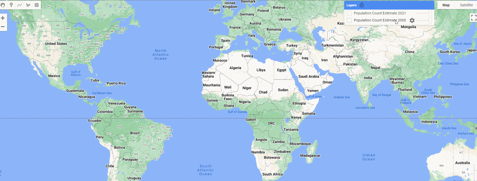
The LandScan dataset by Oak Ridge National Laboratory (ORNL) has been providing highly detailed annual population distribution maps since 1998. They’ve just released the LandScan Global 2023 dataset, which provides worldwide estimates at 1km resolution.
2. Global grassland distribution dataset

Let’s be honest. ‘Grassland’ is a strange word. Isn’t it implied that ‘grass’ is a type of ‘land’? It’s sort of like the word ‘grapefruit’… Nonetheless, one thing I do know is that a new study in Scientific Data introduces annual 30m global maps of grassland distribution from 2000–2022, which provides info on cultivated and natural/semi-natural grasslands. You can access the data here (or here), and the code here.
3. Weather and energy dataset

A new study published in Scientific Data provides a time series dataset linking weather-driven variability to power supply and end-use demand across Europe.
They transformed meteorological inputs (like wind speed, solar radiation, runoff, and temperature) into time series representing solar panel output, onshore and offshore wind generation, hydropower inflow, and residential or commercial heating and cooling demand.
You can access the code here.
Other useful bits
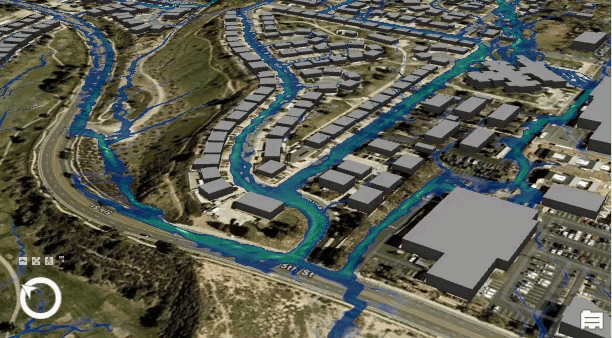
Flood simulation in ArcGIS Pro 3.4 offers some awesome visualisation tools for analysing and managing flood risks. New features include defining water source areas for realistic simulations, flexible simulation sizes (up to 8192x8192 pixels), exporting results as CRF files, and the ability to modify areas of interest (AOI) dynamically.
NASA's Fire Information for Resource Management System (FIRMS) Fire Data Academy offers free modules to learn how to use FIRMS fire detection data in Python via Jupyter Notebooks. The tutorials cover setup, data ingestion, visualisation, and using the FIRMS API, all accessible in Google Colab with no programming experience required.

The new WorldPop online tool provides subnational mapping of child and maternal health indicators for selected low- and middle-income countries. It displays data on health, socioeconomic factors, and SDGs through maps, charts, and tables, covering multiple time points. More countries will be added soon— you can watch the demo here.
A new study introduces GEE-OPs, a framework to simplify geospatial coding on the Google Earth Engine (GEE) platform. Using advanced analysis of 185,236 GEE scripts, it builds a knowledge base of operator syntax and relationships, achieving over 90% accuracy. By combining this with Retrieval-Augmented Generation (RAG), geospatial code generation improves by 20-30%, aiding fields like urban planning, environmental monitoring, and disaster response.
Jobs
UNOPS is looking for an ICT Intern to support the Data Science team in advancing HDX Signals, a product released by the Centre for Humanitarian Data.
UNGSC is looking for an Associate Geospatial Information Officer under its Analytics and Location Intelligence Unit (ALIU).
The Armed Conflict Location & Event Data organization (ACLED) is looking for a Junior Data Scientist to assist with its data science projects.
The US Naval District is looking for a Geographer under its Geospatial Information Systems Department.
CopPhil, an EU-Philippines initiative, is offering a Master’s Scholarship for folks in the field of Earth Observation.
Global Fishing Watch is requesting proposals for Enhancing Global Fishing Activity Predictions Through Data and Model Development.
Just for Fun

Encyclopedia Britannica, which are two words I haven’t seen since the 90s, is somehow trying to IPO for $1 billion. It's licensing its massive info database to power LLMs and chatbots, while its websites (like Britannica and Merriam-Webster) pull in 7 billion visits a year. Now it’s eyeing a $1B IPO, raking in $100M revenue with 45% profit margins. Not bad.
That’s it for this week year.
I’m always keen to hear from you, so please let me know if you have:
new geospatial datasets
newly published papers
geospatial job opportunities
and I’ll do my best to showcase them here.
Yohan